What is a squall?
In sailing, a squall is a sudden, short-lived increase in wind speed, often accompanied by:
- Sharp wind shifts
- Heavy rain
- Poor visibility
- Rough, steep seas
Squalls may or may not include lightning. Many dangerous squalls occur without classic thunderstorm signs.
What does a squall alert mean?
A squall alert means that weather radar is detecting rain cells or lines that are likely to produce strong gusts and sudden wind changes.
For sailors, this means:
- Wind speeds may increase rapidly by 10-25+ knots
- Sail handling conditions may deteriorate quickly
Why radar is the main tool for squall detection
What weather radar shows
- Radar detects rain intensity
- Strong rain echoes often indicate gust fronts and strong downdrafts
- Fast-moving rain bands are typical squall signatures
Why this matters at sea
- Squalls often develop low and fast, without very high cloud tops
- Radar detects the dangerous wind-producing part of the system
- Radar works well near the coast where coverage is available
Important limitation: radar does not offer global coverage. In remote ocean areas, radar data may be sparse or unavailable, making onboard radar and visual observations especially important.
What to pay attention to when you receive a squall alert
Location relative to you
- Is the squall ahead of your bow, crossing your route, or approaching from behind?
- Are there multiple squalls in the area or just a single cell?
Distance and time to impact
- How far away is the radar echo?
- How fast is it moving?
Shape and organisation
- Narrow lines or arcs often produce strong gust fronts
- Broken clusters may bring repeated gusts
- Long lines can be difficult to avoid
What past radar images can tell you
Looking at radar loops from the past 30-120 minutes helps estimate squall behaviour.
Is the squall strengthening or weakening?
- Increasing rain intensity suggests stronger gust potential
- Expanding rain area means broader impact
Speed and direction of motion
- Fast-moving squalls bring sudden but brief severe conditions
- Slower squalls may cause prolonged rain and rough seas
Repeating squalls
- In trade wind regions, squalls often form in series
- One squall may pass, followed by another shortly after
What could happen in the next few hours
Based on radar trends, squall alerts help anticipate:
- Sudden wind gusts exceeding forecast values
- Rapid wind shifts
- Brief but intense sea-state deterioration
- Reduced visibility during heavy rain
How to use squall alerts with your weather layers
Wind forecast
- Squalls often exceed forecast wind speeds
- Treat forecasts as background conditions, not squall conditions
Wave forecast
- Squall winds can quickly create short, steep waves
- These waves may not appear in forecast models
Rain & thunderstorm forecast
- Squalls can occur even when thunderstorm risk is low
- Do not rely on lightning forecasts alone
Onboard radar
In squall-prone regions, especially trade winds, your onboard radar is one of the most important safety tools:
- It shows squalls in real time, relative to your boat
- It helps track distance, bearing, and movement
Regularly cross-check onboard radar with app-based alerts.
Example radar signatures of squalls
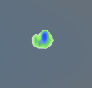
Example 1: Isolated trade wind squall
- Compact, intense rain echo
- Fast movement with clear direction
- Expect sudden gusts and heavy rain for 10-30 minutes
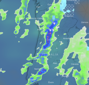
Example 2: Line of squalls
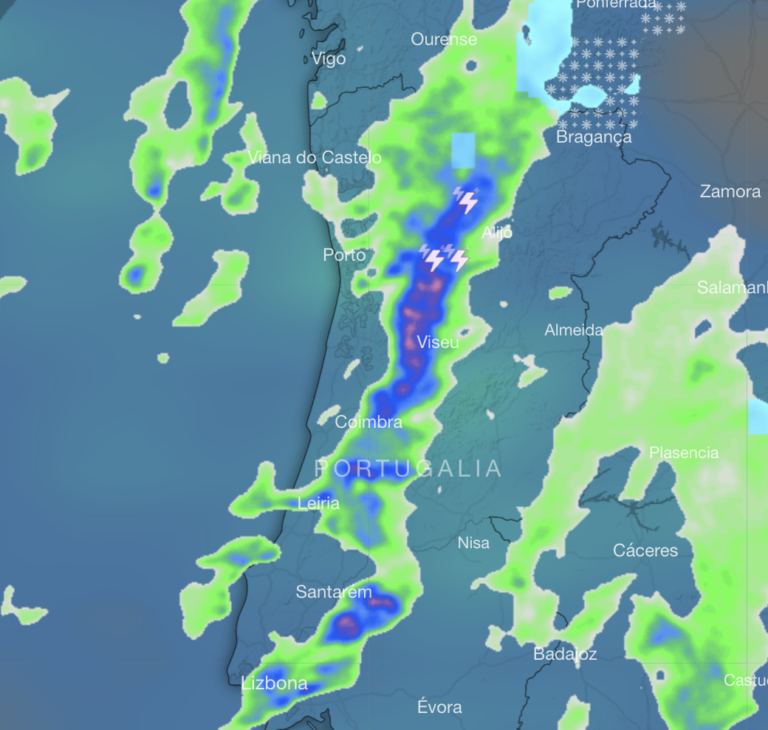
- Long, narrow radar band
- Consistent movement
- Expect sharp wind shift and rough seas as the line passes
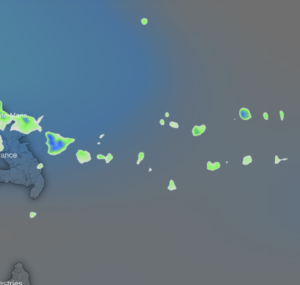
Example 3: Repeating squalls at night
- Multiple cells following similar paths
- Gaps of calmer conditions in between
Key safety takeaways for sailors
- Radar is the most effective tool for detecting squalls.
- Always watch radar loops, not just single images.
- In trade wind regions, expect squalls even in fair weather.
- Prepare early: reef, secure gear, adjust course if needed.